

مجموعة بيانات خرائط مفتوحة المصدر
شكل تايوان
SVG، GeoJSON، TopoJSON — مجموعة بيانات خرائط مفتوحة المصدر كاملة للمطورين والمصممين والباحثين.
لماذا يهم شكل تايوان
اطلب من أي أداة ذكاء اصطناعي لرسم تايوان، وستحصل تقريبًا على شيء دائري وممتلئ، يشبه بين الزيتون والبطاطس. تايوان ليست زيتونًا. إنها حبة بطاطس طويلة تمتد على 394 كيلومترًا، مع سلسلة جبال مركزية تمتد من الشمال إلى الجنوب، وأكثر من مئة جزيرة نائية.
رسم الشكل بشكل صحيح ليس مجرد تفصيل تصميمي، بل هو قضية هوية. تجمع هذه الصفحة جميع مواد الخرائط مفتوحة المصدر التي نستخدمها في taiwan.md، لتمكين أي شخص من عرض تايوان بدقة في مشاريعه الخاصة.
vs. 🇹🇼 — الذكاء الاصطناعي يخطئ دائمًا، حقًا
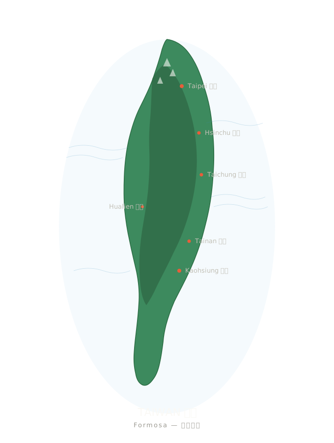
حدود SVG — تضمين مباشر
أربع مجموعات مختارة من ملفات SVG، جميعها مرخصة بموجب CC أو في الملك العام. يمكن إسقاطها مباشرة في أي صفحة ويب أو تطبيق أو تصميم.
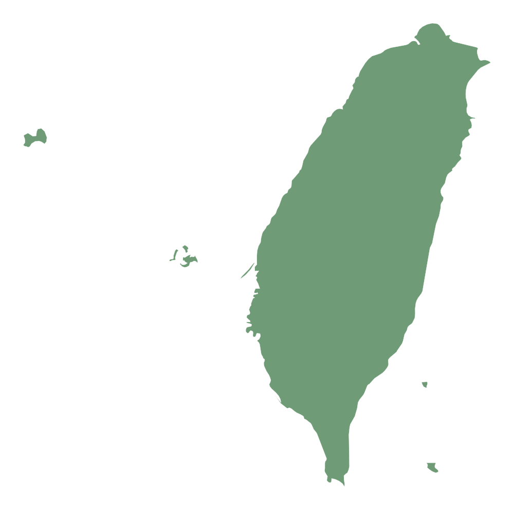
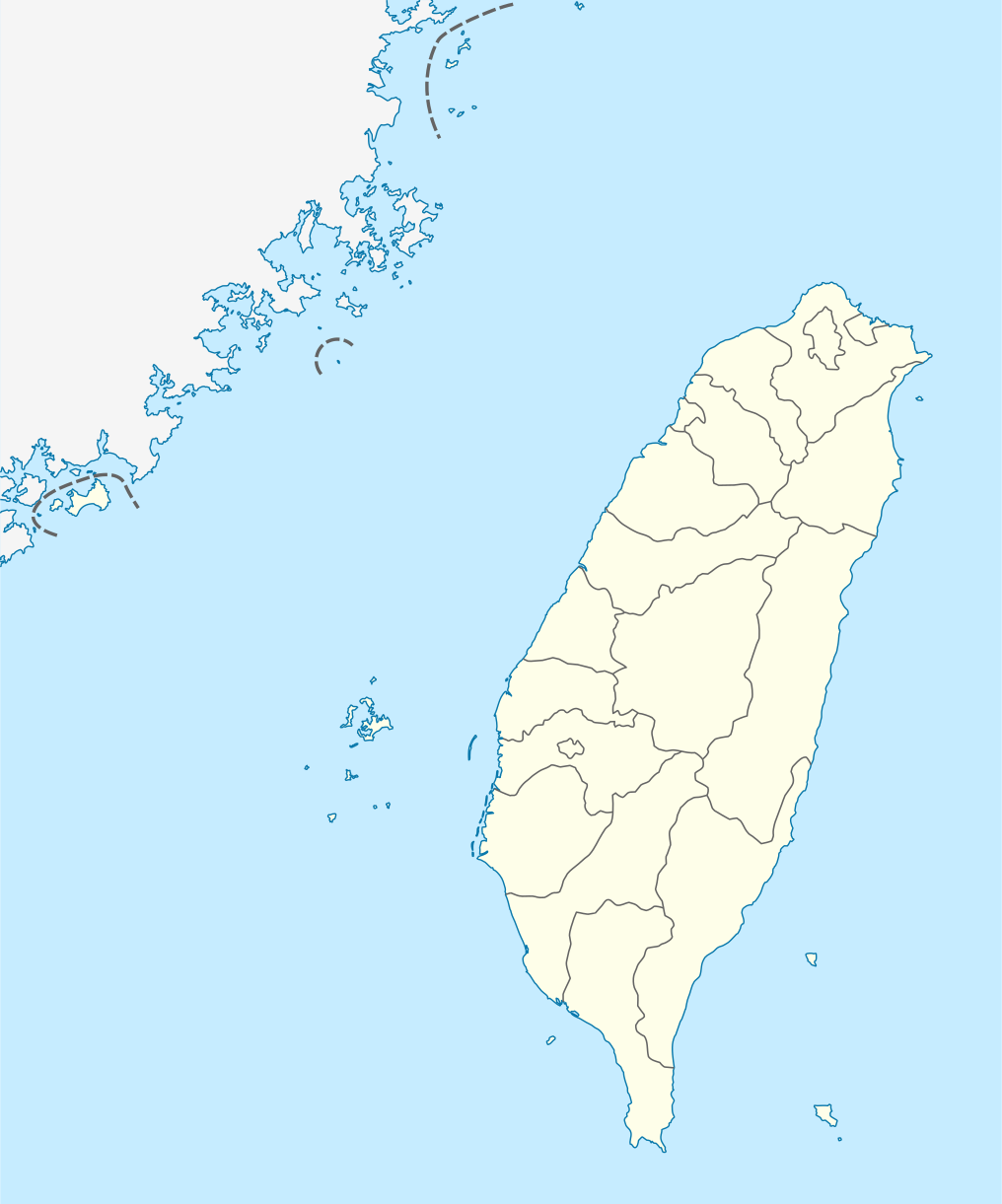
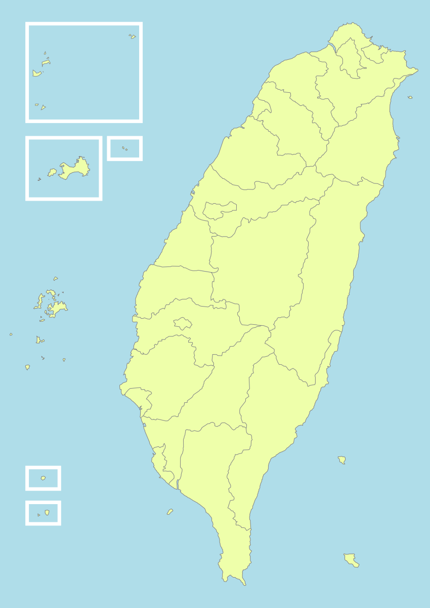
طريقة الاستخدام
<!-- HTML -->
<img src="https://taiwan.md/assets/svg/taiwan-icon-wiki.svg" alt="Taiwan" width="200">
/* CSS */
background-image: url('https://taiwan.md/assets/svg/taiwan-icon-wiki.svg');
<!-- Markdown -->
جميع ملفات SVG مرخصة بموجب Creative Commons أو في الملك العام. يُفضل ذكر المصدر لكنه ليس إلزاميًا.
TopoJSON — خرائط تفاعلية على مستوى المقاطعات
إذا كان هدفك هو خرائط تفاعلية — تكبير/تصغير، تمرير الماوس، ملء الألوان بناءً على القيم — فأنت لا تحتاج إلى مسارات SVG، بل تحتاج إلى بيانات إحداثيات جغرافية حقيقية. قمنا بتجميع ملفات TopoJSON المستخرجة من taiwan-vue-components الخاصة بـ Waiting (ترخيص MIT، 2018).
TopoJSON هو نسخة مضغوطة من GeoJSON: يتم تخزين الحدود المشتركة بين المقاطعات المتجاورة مرة واحدة فقط، مما يصغر حجم الملف بنسبة 80%. يمكن استخدام topojson-client لتحويله فورًا إلى GeoJSON.
TopoJSON مقابل GeoJSON — أيهما تختار
TopoJSON
TopoJSON: حجم ملف صغير، حدود مشتركة للمناطق المتجاورة، مناسب لخرائط الويب التفاعلية.
GeoJSON
GeoJSON: تنسيق بسيط، متوافق مباشرة مع Python geopandas وQGIS وأدوات GIS الأخرى.
حدود البلاد (22 مقاطعة ومدينة)
ملف TopoJSON بحجم حوالي 21 كيلوبايت، يحتوي على 22 مقاطعة ومدينة، كل منها كعنصر (feature) مستقل. نقطة البداية لخرائط choropleth.
taiwan-country.topo.jsonبيانات على مستوى البلدات لجميع المقاطعات الـ 22
قمنا بتجميع ملفات TopoJSON على مستوى البلدات لجميع المقاطعات الـ 22، جميعها مستخرجة من مستودع المصدر نفسه.
taiwan-towns-63000.topo.json taiwan-towns-64000.topo.json taiwan-towns-65000.topo.json taiwan-towns-66000.topo.json taiwan-towns-67000.topo.json taiwan-towns-68000.topo.json taiwan-towns-10002.topo.json taiwan-towns-10004.topo.json taiwan-towns-10005.topo.json taiwan-towns-10007.topo.json taiwan-towns-10008.topo.json taiwan-towns-10009.topo.json taiwan-towns-10010.topo.json taiwan-towns-10013.topo.json taiwan-towns-10014.topo.json taiwan-towns-10015.topo.json taiwan-towns-10016.topo.json taiwan-towns-10017.topo.json taiwan-towns-10018.topo.json taiwan-towns-10020.topo.json taiwan-towns-09007.topo.json taiwan-towns-09020.topo.json تم تضمين جميع المقاطعات والمدن الـ22 أعلاه. بيانات حدود البلدات والقرى من github.com/waiting7777/taiwan-vue-components,MIT License © 2018 Waiting。
جدول مطابقة رموز المناطق الإدارية
تستخدم تايوان رموزًا رقمية لتشفير المناطق الإدارية. فيما يلي جدول مطابقة للمناطق الإدارية على مستوى المقاطعات الـ 22 (قاعدة تسمية الملفات: `towns-{code}.json`).
| الرمز | المنطقة الإدارية | النوع |
|---|---|---|
63000 | 臺北市 Taipei | municipality |
64000 | 高雄市 Kaohsiung | municipality |
65000 | 新北市 New Taipei | municipality |
66000 | 臺中市 Taichung | municipality |
67000 | 臺南市 Tainan | municipality |
68000 | 桃園市 Taoyuan | municipality |
10002 | 宜蘭縣 Yilan | county |
10004 | 新竹縣 Hsinchu | county |
10005 | 苗栗縣 Miaoli | county |
10007 | 彰化縣 Changhua | county |
10008 | 南投縣 Nantou | county |
10009 | 雲林縣 Yunlin | county |
10010 | 嘉義縣 Chiayi | county |
10013 | 屏東縣 Pingtung | county |
10014 | 臺東縣 Taitung | county |
10015 | 花蓮縣 Hualien | county |
10016 | 澎湖縣 Penghu | county |
10017 | 基隆市 Keelung | city |
10018 | 新竹市 Hsinchu City | city |
10020 | 嘉義市 Chiayi City | city |
09007 | 連江縣 Lienchiang (Matsu) | offshore |
09020 | 金門縣 Kinmen | offshore |
أمثلة الاستخدام
D3.js — choropleth تفاعلي
// D3.js v7 + topojson-client
import * as d3 from 'd3';
import * as topojson from 'topojson-client';

const topo = await d3.json('https://taiwan.md/assets/geo/taiwan-country.topo.json');
const counties = topojson.feature(topo, topo.objects.map);

const projection = d3.geoMercator()
  .center([121, 24])
  .scale(8000)
  .translate([400, 300]);

const path = d3.geoPath().projection(projection);

d3.select('svg')
  .selectAll('path')
  .data(counties.features)
  .join('path')
    .attr('d', path)
    .attr('fill', d => colorScale(d.properties.value))
    .attr('stroke', '#333');
Python — geopandas
# Python — convert TopoJSON to GeoDataFrame
import json, geopandas as gpd
from topojson import Topology

with open('taiwan-country.topo.json') as f:
    topo = json.load(f)

# Convert to GeoJSON
topology = Topology(topo)
gdf = gpd.GeoDataFrame.from_features(
    topology.to_geojson()['features']
)
gdf.plot(column='name', legend=True)
Leaflet — طبقات خرائط البلاط
// Leaflet + topojson
import L from 'leaflet';
import * as topojson from 'topojson-client';

const map = L.map('map').setView([24, 121], 7);
L.tileLayer('https://{s}.tile.openstreetmap.org/{z}/{x}/{y}.png').addTo(map);

fetch('https://taiwan.md/assets/geo/taiwan-country.topo.json')
  .then(r => r.json())
  .then(topo => {
    const geojson = topojson.feature(topo, topo.objects.map);
    L.geoJSON(geojson, {
      style: { color: '#4a90e2', weight: 1, fillOpacity: 0.3 }
    }).addTo(map);
  });
Vue — taiwan-vue-components
// Vue 2 — taiwan-vue-components (original source)
npm install taiwan-vue-components

// In your Vue component
import { Country, Taipei, Kaohsiung } from 'taiwan-vue-components';

<template>
  <div>
    <Country :width="400" :height="600" fill="#f0f0f0" stroke="#333" />
    <Taipei :width="300" :height="300" />
  </div>
</template>
مصادر بيانات مفتوحة المصدر أخرى
إذا كنت تحتاج إلى أكثر مما تم تجميعه هنا — دقة أعلى، إسقاطات مختلفة، حدود إدارية تاريخية — إليك المصادر التي نوصي بها:
- 政府資料開放平臺 (data.gov.tw) — منصة البيانات المفتوحة الرسمية للحكومة، تتضمن ملفات shapefile للحدود الإدارية الصادرة عن وزارة الداخلية.
- Natural Earth — بيانات خرائط عالمية في الملك العام بثلاثة مقاييس: 1:10m / 1:50m / 1:110m. مناسبة لإعداد خرائط عالمية تشمل تايوان.
- OpenStreetMap (Taiwan relation) — خريطة تايوان التي يحرّرها مجتمع OSM، ويمكن تنزيلها بصيغة OSM XML أو PBF عبر Overpass API وGeofabrik.
- GADM — Taiwan — قاعدة بيانات المناطق الإدارية العالمية، حدود تايوان الإدارية للمستويات 0-3، متوفرة بصيغ Shapefile / GeoPackage / KMZ / R.
- g0v.tw — مجتمع التكنولوجيا المدنية في تايوان. تنشر مشاريع g0v كثيرة بيانات خرائط منظّمة وتصورات بصرية كمصادر مفتوحة.
الترخيص والمصادر
كل ملف على هذه الصفحة مفتوح المصدر. فيما يلي معلومات المصدر والترخيص الكاملة:
- taiwan-icon-wiki.svg · taiwan-location-map.svg · taiwan-political-division.svg — Wikimedia Commons، ترخيص Creative Commons.
- taiwan-simplemaps.svg — SimpleMaps، مجاني للاستخدام التجاري مع ذكر المصدر.
- taiwan-country.topo.json · taiwan-towns-*.topo.json — مأخوذ من waiting7777/taiwan-vue-components, MIT License © 2018 Waiting.